Creating an Interactive Dashboard to Inform Rotational Grazing
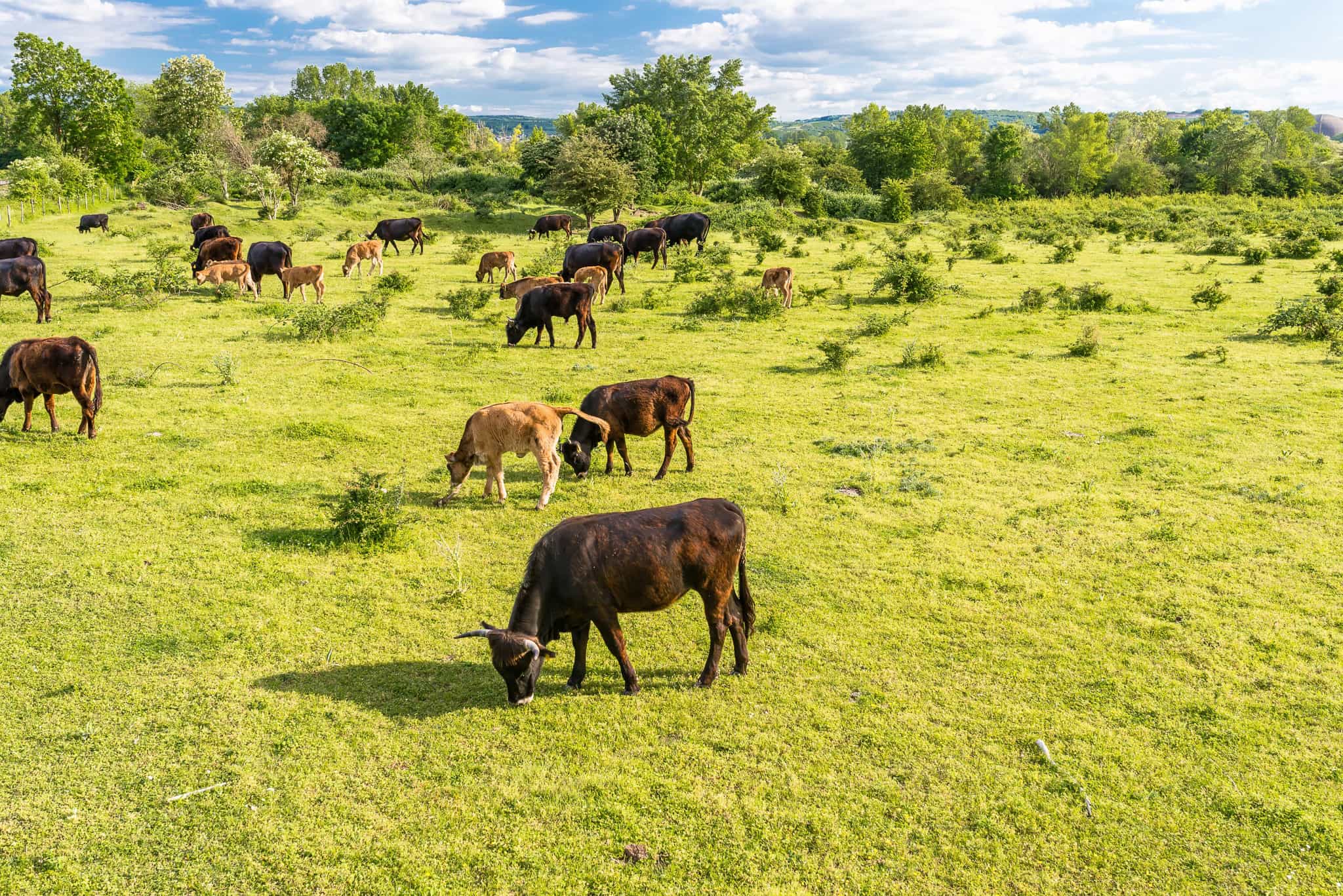
Building an Interactive Dashboard to Support Rotational Grazing Management—the planned movement of livestock between pastures to allow vegetation rest and recovery—represents a cornerstone of regenerative land management that can improve soil health, increase biodiversity, and build climate resilience. Working with the White Buffalo Land Trust (WBLT), Jared and Isa focused on developing a comprehensive interactive dashboard to support rotational grazing practices at the 1,000-acre Jalama Canyon Ranch. Working with remote sensing data from IrriWatch, they created a webbased tool that displays daily estimates of key agricultural parameters including soil moisture, vegetation cover, NDVI, evapotranspiration, and other metrics critical to inform the timing of rotational grazing.
The dashboard enables WBLT’s land stewardship team to monitor current and historical land health across the land, supporting their efforts to optimize grazing timing and pasture recovery.The project required solving complex technical challenges in geospatial data processing, including developing automated workflows to stitch together 79 individual field rasters into unified daily layers covering the entire ranch. Jared and Isa overcame significant data alignment and resolution issues to ultimately create a robust Python-based data processing pipeline. The complete dashboard features interactive maps, temporal trend analysis, pasture-level summary statistics, and the ability to compare multiple pastures against one another. Users can visualize how agricultural parameters change over time, identify optimal grazing timing, and assess pasture recovery rates following cattle movement.
To ensure that the dashboard will live on and continue to be useful into the future, they deployed automated data fetching and processing workflows that run daily to fetch data from IrriWatch, process it, and store it in Amazon Web Services S3 cloud storage. The final product includes documentation, user guides tailored for the land stewardship team, and next steps for incorporating additional data layers such as grazing management surveys and weather data. This tool directly supports WBLT’s mission to demonstrate the ecological benefits of regenerative grazing practices while providing a model for other ranching operations seeking to integrate remote sensing technology into land management decisions.
Jared and Isa’s Impact:
- Created an interactive dashboard enabling real-time assessment of 12 key agricultural parameters across multiple water years (2023-2025), informing cattle movement timing and pasture recovery assessment
- Developed a fully automated system that fetches, processes, and displays daily IrriWatch data for 1,000+ acres, reducing manual analysis time from hours to minutes
- Established a model for integrating remote sensing technology into ranch management that can be adapted by other land stewardship organizations
- Produced documentation and user guides ensuring long-term usability and maintenance by WBLT staff, with plans for incorporating additional data layers including grazing surveys and weather information