Reaching 30x30 Conservation Goals through Protected and Connected Land

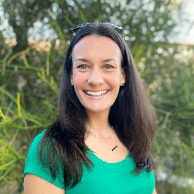
We're delighted that Dr. Amy Frazier has joined us at UCSB in the Geography Department as the Jack and Laura Dangermond Chair of Conservation Science! Dr. Frazier's work creatively links different approaches to tackle the pressing questions of how to effectively protect biodiversity across diverse landscapes.
—Ruth Oliver, Assistant Professor, Bren School
Watch a recording of this talk here
ABSTRACT
Protected areas are a primary instrument for biodiversity conservation, and area-based targets have become a hallmark of global efforts, with the recent Kunming-Montreal Global Biological Framework recommending at least 30 percent of land and water be protected by 2030. More than 188 countries have signed on to ‘30x30’, and the U.S. has implemented its “America the Beautiful” plan, a similar call for local, state, and regionally-led efforts to conserve, connect, and restore 30 percent of U.S. lands and waters by 2030. These commitments are a good start, but establishing isolated reserves is not sufficient for conserving biodiversity. Protected areas must be well connected in order to facilitate species dispersal, migration, and reproduction and effectively increase the resilience of conservation networks. The benefits of having a spatially connected protected area network are well established, yet there is little consensus on how connectivity should be assessed and even less guidance on how it should be measured and monitored for global target reporting. In this talk, I will discuss how different spatial pattern metrics and geospatial methods are being used to prioritize locations for new protected areas and highlight some of the challenges the world is facing in developing generalizable methods for monitoring connectivity gains.
BIO
Amy Frazier is a Professor and the Jack and Laura Dangermond Chair of Conservation Science at the University of California, Santa Barbara. Her work is motivated by the grand environmental challenges facing our society, including the global loss of biodiversity and ecosystem services, the impending mass extinction of species, and the critical need to protect our planet in the face of climate change. Dr. Frazier and her team use a variety of GIS-based technologies and methods, including drones, remote sensing, machine learning, and statistics, to harness massive amounts of biological and environmental data, produce valuable tools and knowledge from those data that can inform conservation decisions, and integrate that knowledge into policy-making pipelines.