A Solution to One of Mountain Hydrology’s Principal Mysteries: The Spatial Distribution of Snowfall

PhD Dissertation Defense
Advisor: Jeff Dozier
Committee: Naomi Tague, James Frew, Thomas H. Painter, Jeffrey S. Deems
ABSTRACT
The dynamic nature in which the atmosphere and land interact can render the spatial distribution of precipitation highly variable. This is particularly the case in mountain environments where the topography is steep and the elevational variability is large. To capture this variability, we presently rely on a network of gauges, and to make these measurements meaningful we utilize statistics or models to “fill the gaps”. However, the “gaps” often include vast areas of topographic variability, making model validation challenging at best. Nonetheless, these data are used in streamflow forecasts, and even in some of the most technologically advanced regions in the world these forecasts can have large errors, in some cases exceeding 100% absolute error. A large part of this error is due to an inadequate understanding of the spatial distribution of mountain precipitation. Snow, unlike rain, remains roughly in place post-snowfall, and can be measured both from the ground and now from the air. In my first chapter, I take advantage of this by using snow remote sensing from the Airborne Snow Observatory (ASO) to establish a methodology for measuring the spatial distribution of snowfall during a single storm. The second chapter utilizes spatial scaling of the ASO data to parse changes in snow accumulation by the principal driving force—either precipitation or wind redistribution. The third and final chapter evaluates the Weather Research and Forecasting (WRF) model’s ability to replicate the spatial patterns in yearly snow accumulation as observed by ASO. Importantly, all three chapters lay the groundwork for the increased use of snow remote sensing to help both augment and evaluate existing models for precipitation monitoring and forecasting in mountain environments.
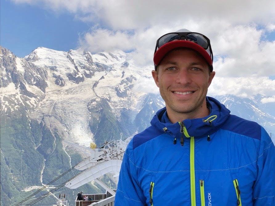
BIO
From the beach in Santa Barbara, Ty Brandt studies something unexpected—snowfall in California’s Sierra Nevada. Before coming to UC Santa Barbara, Ty worked in a number of scientific fields, including the remote sensing of groundwater and evapotranspiration in California’s Central Valley, toxic algae blooms at the freshwater/marine interface in the Monterey Bay, sea otter ecology along California’s Central Coast, and the physiology of tunas and great white sharks. He holds a Master of Science from California State University Monterey Bay in Coastal and Watershed Science and Environmental Policy as well as a Bachelor of Arts in Biology from Whitman College.