Assessing Fire in Groundwater-Dependent Ecosystems
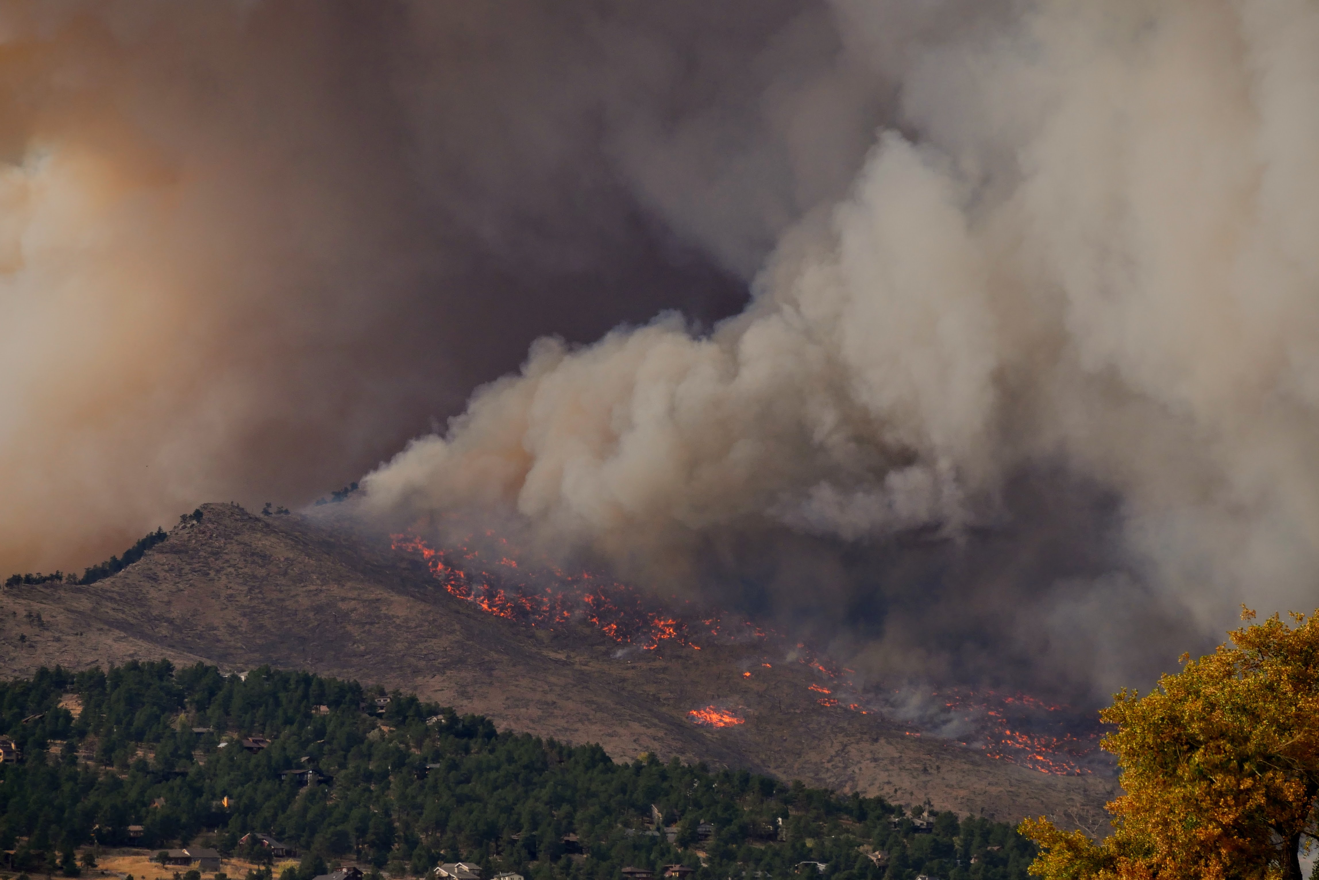
Climatic events such as drought and wildfires have become more frequent and severe in California, causing structural and ecological damage (Goss et al., 2020, Li and Banerjee, 2021). While there is an understanding of both freshwater resource management (Lubell et al., 2020) and wildfires (McLauchlan et al., 2020, Zigner et al., 2022, Hoover and Hanson, 2023), there has been little work directed towards assessing the relationship between groundwater-dependent ecosystems (GDEs), which are riparian or wetland ecosystems dependent on groundwater, and wildfires (Seker, 2017). To fill this knowledge gap, we produced spatial layers of four different wildfire metrics, and conducted exploratory statistical analyses to assess how these wildfire metrics may be affected by GDEs in California. These layers and analyses are incorporated into an interactive dashboard that allows users to view general spatial relationships between groundwater variables, such as GDEs, and various wildfire metrics. Additionally, statistical analyses will allow users to quantify correlations between groundwater and wildfire metrics. These results will lay the foundations for future integration of groundwater data into wildfire risk models (Nolan et al., 2020).
Acknowledgements
Bren School: Tamma Carleton, Assistant Professor; Max Moritz, Adjunct Professor; Ruth Oliver, Assistant Professor; Isaac Park, Research Scientist; Naomi Tague, Professor
The Nature Conservancy: Kelly Easterday, Lead Conservation Technology Manager; Mahsa Khodaee, Applied Scientist