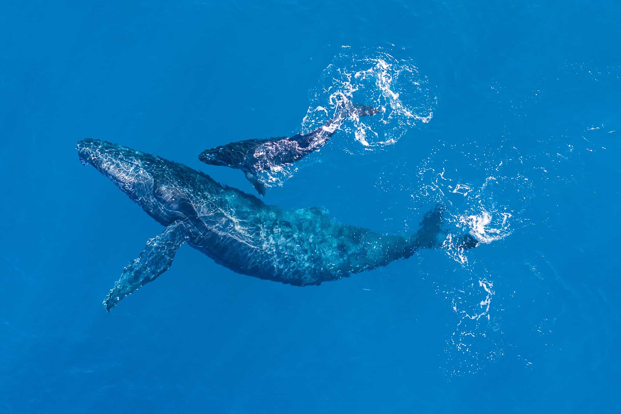
The Santa Barbara Channel is home to several whale species, including Humpback, Blue, and Gray whales. However, these populations face significant threats from human activities such as ship strikes and entanglement in fishing gear, which hinder their recovery from a past that nearly drove them to extinction. Effective whale conservation efforts require precise information on whale locations, but traditional monitoring methods like aerial and boat-based surveys can be costly, time-intensive, and geographically limited. Recent advancements in Very High-Resolution (VHR) satellite imagery, now offering submeter resolution, present an innovative opportunity for marine conservation. This technology enables researchers to detect whales in otherwise hard-to-reach ocean areas on a broader scale, bridging a critical gap between data collection and real-time decision-making.
Building on these advancements, scientists have developed machine learning models that have been integrated by a specialized Machine Learning Operations team into a comprehensive whale detection platform. This platform equips conservation managers with tools to identify whale presence, informing vessel speed reduction programs, decisions on shipping lane locations, and fisheries management strategies. Recognizing the gap between scientific innovations and conservation practices, this project also aimed to provide technical guidance for conservation managers, enabling them to effectively use the tool. The guidance helps bridge the science-practice divide, empowering decision-makers to take informed actions to protect whale species.
Jai and Sofia’s Impact:
- Researched background on whale species in the Santa Barbara Channel and associated threats.
- Gained foundational understanding of VHR satellite imagery and its applications for whale detection.
- Developed mentoring and collaboration skills in a research setting.
- Co-authored a technical user guide to support the use of machine learning-based whale detection software for conservation managers.