Assessing Range Shifts of Coastal Species to Inform Conservation in a Key California Biogeographic Transition Zone

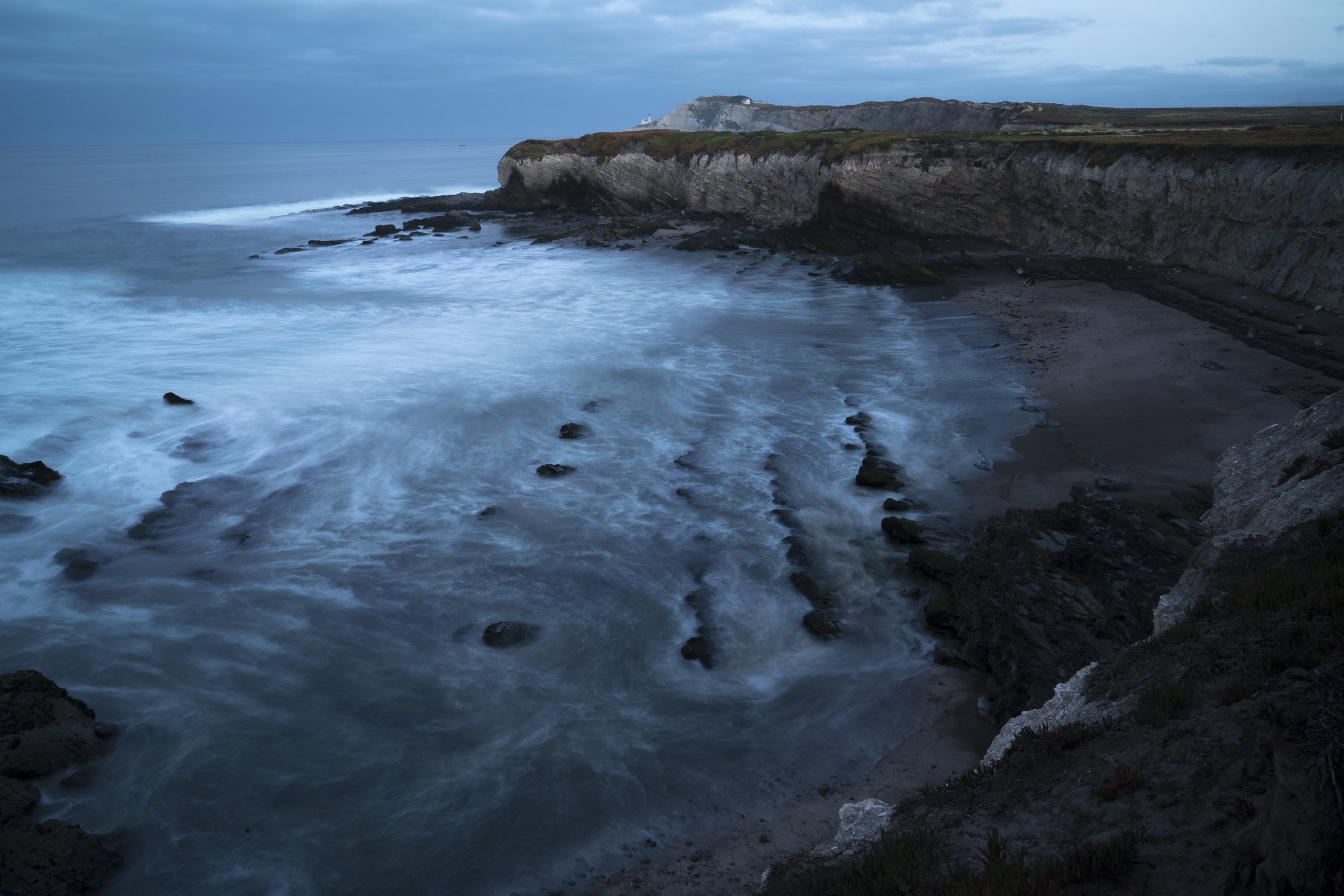
Point Conception, located within the Dangermond Preserve, is one of California’s most prominent ecological transition zones, marking a major boundary between northern and southern marine ecoregions. Its unique position at the intersection of two major currents creates a steep gradient in oceanographic and ecological conditions, acting as a natural barrier to the range expansions of many marine species. Rocky intertidal species are vulnerable to climate change-induced habitat changes, including ocean acidification, rising sea levels, changes in water temperature, and more frequent and intense storms. Species ranges are expected to shift in response to a changing climate, but it is not known how biogeographic barriers such as Point Conception might affect or constrain such shifts. Currently, there is no comprehensive understanding of the ranges of intertidal species found in or near the Point Conception region. Using long-term ecological survey data from the MARINe network, this project located species range boundaries along the California coast and identified species with boundaries at or near Point Conception. Additionally, by incorporating current and projected environmental variables drawn from Bio-Oracle, the project characterized potential species range shifts within the Point Conception region. In collaboration with The Nature Conservancy’s Dangermond Preserve, an interactive dashboard was developed displaying current and possible future ranges of a variety of key intertidal species, which will be used both by conservation scientists and by donors and community members to understand the preserve's unique ecological significance. By improving data accessibility and visualization, the dashboard supports more effective conservation planning and environmental decision-making.