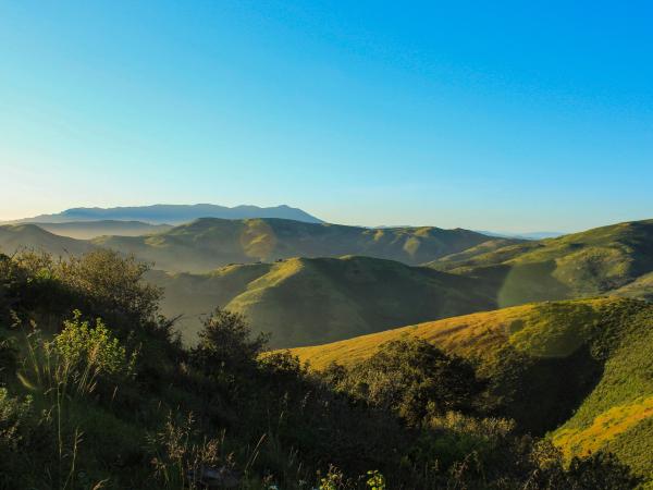
This project modeled human-black bear conflicts in California, incorporating fire and drought impacts to predict future hotspots. Findings help wildlife managers allocate resources and implement proactive strategies to reduce conflicts, especially in vulnerable communities.
Travelleco connects travelers with eco-friendly, locally-owned tourism providers to reduce environmental damage and economic inequality in tourism. The platform promotes transparency with sustainability scores, tracking both environmental impacts and local economic benefits.
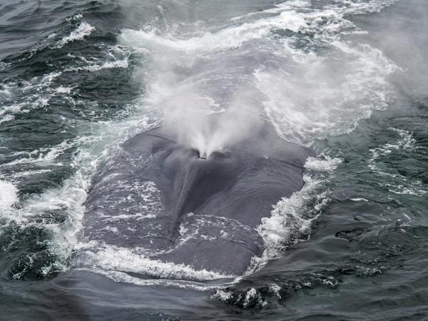
The BWBS program is a successful incentive program that slows ships in the SB Channel to reduce pollution & whale strikes—but it must become more widely adopted to have the intended impact. This team presents a strategy to build a pathway to certification through a brand ambassador network.
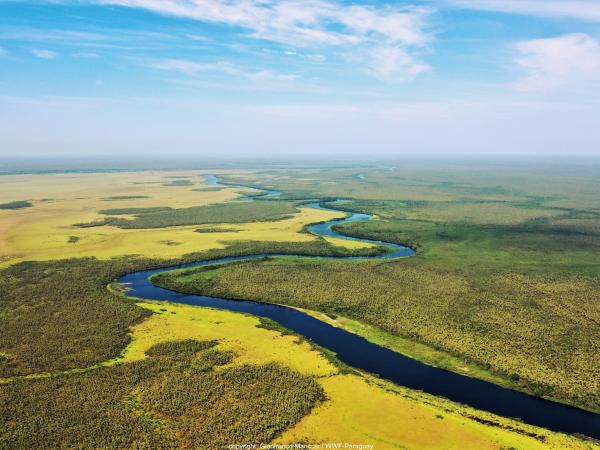
This project estimates how changes to the rules governing private LUPs could affect the extent of forest cover and agricultural land in the Paraguayan Chaco through a four-step approach: (1) Assess property owners' compliance that deforestation only occurs in authorized areas and determine deforestation rates by using geospatial overlays, (2) Estimate protected forest area under different potential laws in the undeveloped Paraguayan Chaco region by creating mock properties with simulated land use plans, (3) Integrate the simulated LUP configurations into a machine learning model to examine how potential changes to land use laws might influence future deforestation patterns, and (4) To inform forest conservation regulations by providing INFONA and other stakeholders with an interactive platform for exploring the results.
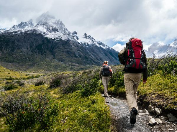
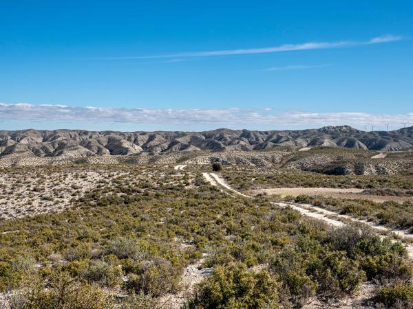
The chaparral ecosystem is prone to fire, but traditional fuel breaks can lead to some unintended consequences. This team delivers educational materials, talking points, and an op-ed on land management for Los Padres Forest Watch to spread awareness of proper land management.
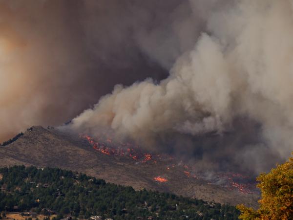
We produced spatial layers of four different wildfire metrics, and conducted exploratory statistical analyses to assess how these wildfire metrics may be affected by GDEs in California. These layers and analyses are incorporated into an interactive dashboard that allows users to view general spatial relationships between groundwater variables, such as GDEs, and various wildfire metrics.
Making sustainable choices when it comes to everyday buying decisions can be challenging for people who are not working in the environmental field. This Instagram strategy fills the gap by providing easy, practical, and fun sustainability tips, emphasizing connection with communities of color.