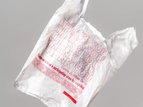
Analyzing environmental and financial factors to develop a calculator and marketing tool to help a commercial recycling company make decisions about transport packaging.
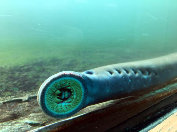
Identifying larval Pacific lamprey habitat locations to aid ongoing restoration efforts, and providing policy recommendations to the Columbia River Inter-Tribal Fish Commission.
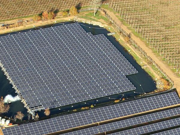
Developing a framework for a floating photovoltaic system identifying potential opportunities, difficulties, and concerns for various stakeholders, including financial, regulatory, and technical components necessary to gain permitting approvals.
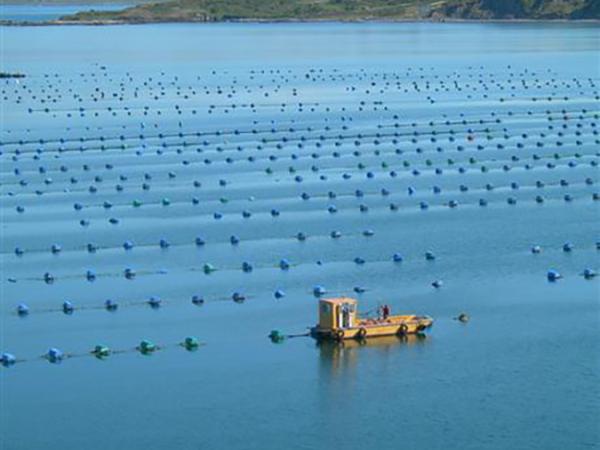
Identifying locations for new shellfish aquaculture development along British Columbia’s coastline and a geospatial visualization tool for First Nations rights and title holders.
Developing a standardized framework to measure the circularity of potential investment opportunities which can be used to provide an impact assessment of a venture capital firm's investments.
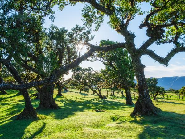
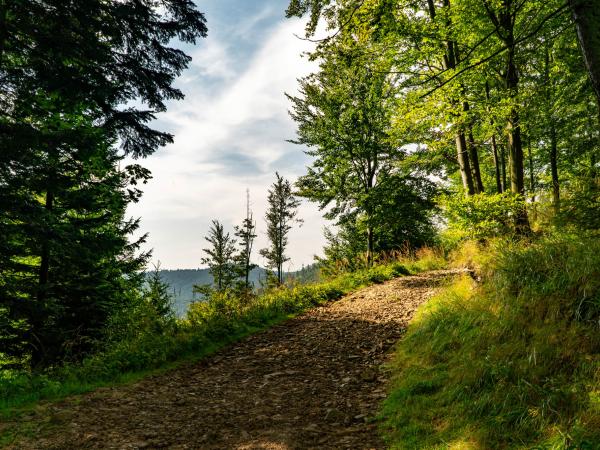
The Dangermond Preserve has over three years of research to share with the public since they acquired the land, and this ESRI ArcGIS StoryMap, helps to articulate new discoveries, to grow awareness, and to promote engagement and economic support from the local community.
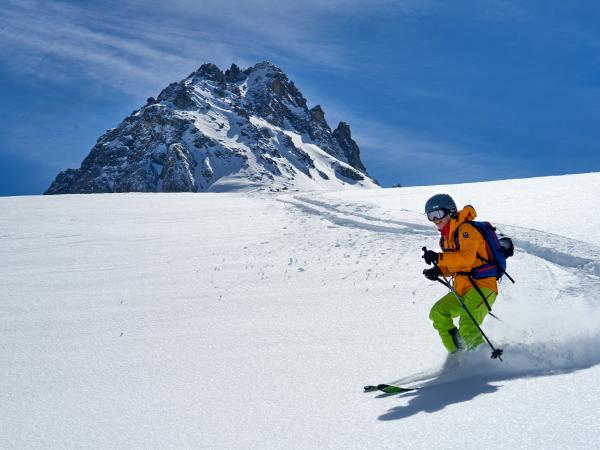
Identifying the scientific and economic impacts of climate change on the rock climbing and trail sports communities to produce strategic communication materials for non-profit ambassadors.
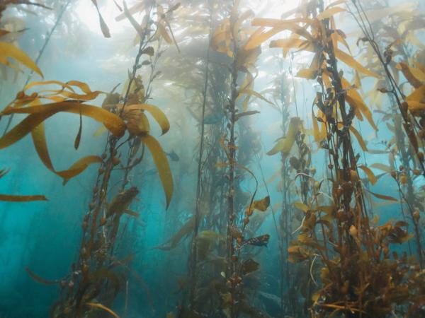
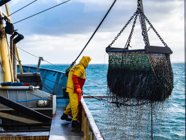
This educational film outlines the benefits of seaweed aquaculture and is targeted at stakeholders in the California seaweed aquaculture industry, with the goal to help eliminate barriers to offshore aquaculture expansion on the West Coast.
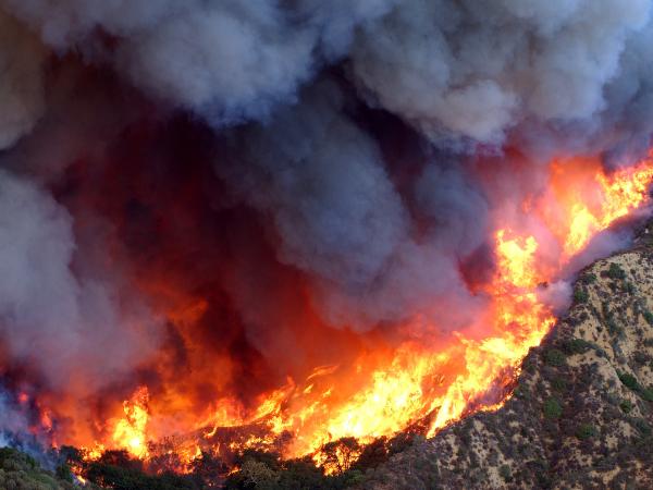
Identifying socially vulnerable communities at risk of wildfire and developing a Community Wildfire Protection Plan that equitably addresses community needs.
This in-depth yet accessible report for Protect Our Winters (POW) highlights the impact that climate change has on outdoor sports and access to recreation spaces. It is meant to stimulate advocacy for climate policy among “summer sports" enthusiasts.
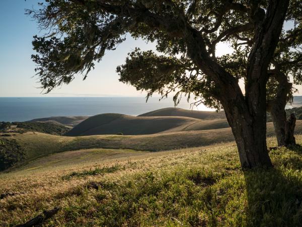
Generating a multi-scale model of habitat connectivity for mountain lions in a California coastal preserve, with the intent to inform future wildlife corridor designs for conservation.
Harmonizing the NCEAS global footprint of food systems data with human welfare data to analyze patterns of environmental inequities in livestock, crop, aquaculture, and fishery production in the US.
This short film highlights snow monitoring and hydrologic research at CUES (Cold Regions Research and Energy Laboratory & UCSB), a shared snow research site utilized by UCSB, CRREL, and Desert Research Institute (DRI).
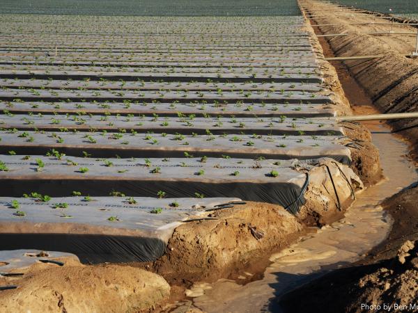
Mitigating the environmental impacts of this agricultural practice by developing either an alternative to plastic mulch or providing an end-of-life solution for the plastic waste.