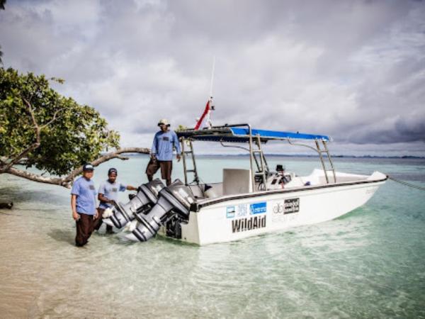
Through this project, the capstone team created a reproducible workflow to streamline data entry for the MPS Tracker, as well as a data visualization tool to summarize and highlight trends. These deliverables allow WildAid Marine to increase their efficiency in monitoring and improving MPA enforcement, and successfully share progress with donors and stakeholders.
The Long Term Ecological Research (LTER) network uncovers unique findings only possible through its long term approach to science. However, many are not aware of its contributions. This team created a video series on the benefits of the LTER network & the scientific insights it can offer.
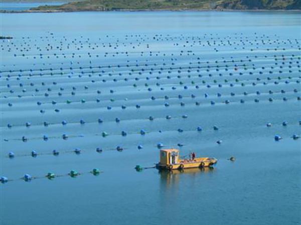
Identifying locations for new shellfish aquaculture development along British Columbia’s coastline and a geospatial visualization tool for First Nations rights and title holders.
Developing a standardized framework to measure the circularity of potential investment opportunities which can be used to provide an impact assessment of a venture capital firm's investments.
Identifying the scientific and economic impacts of climate change on the rock climbing and trail sports communities to produce strategic communication materials for non-profit ambassadors.
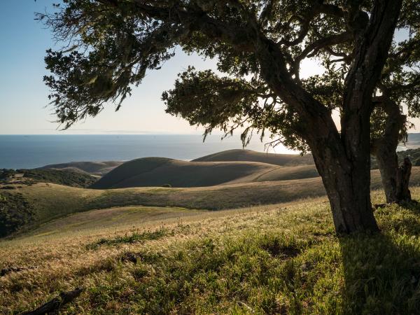
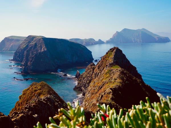
The Dangermond Preserve has over three years of research to share with the public since they acquired the land, and this ESRI ArcGIS StoryMap, helps to articulate new discoveries, to grow awareness, and to promote engagement and economic support from the local community.
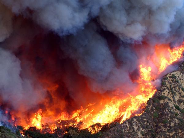
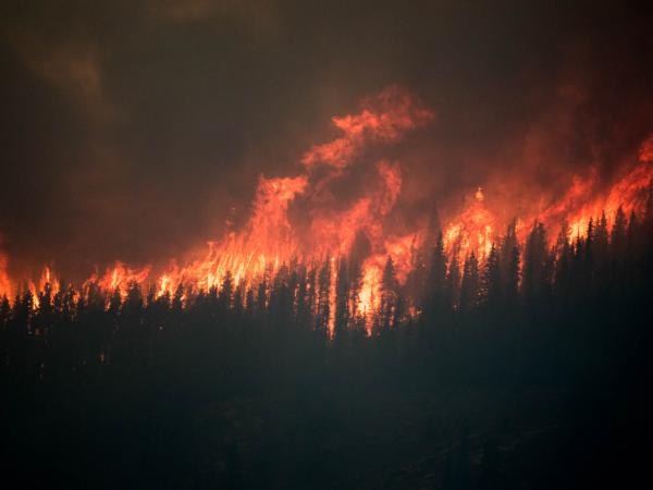
Identifying socially vulnerable communities at risk of wildfire and developing a Community Wildfire Protection Plan that equitably addresses community needs.
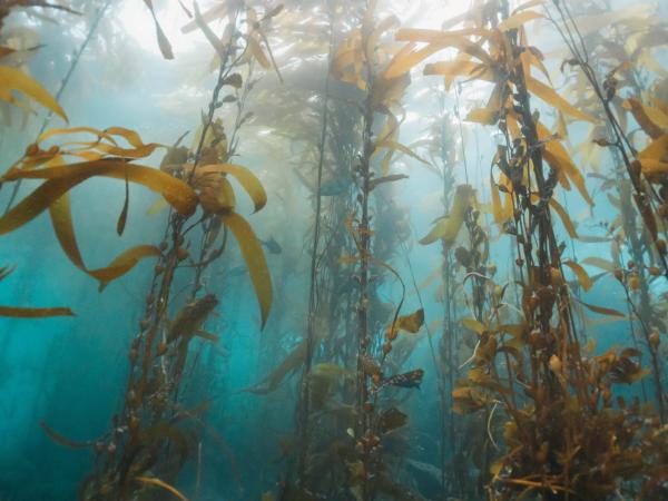
This educational film outlines the benefits of seaweed aquaculture and is targeted at stakeholders in the California seaweed aquaculture industry, with the goal to help eliminate barriers to offshore aquaculture expansion on the West Coast.
Generating a multi-scale model of habitat connectivity for mountain lions in a California coastal preserve, with the intent to inform future wildlife corridor designs for conservation.
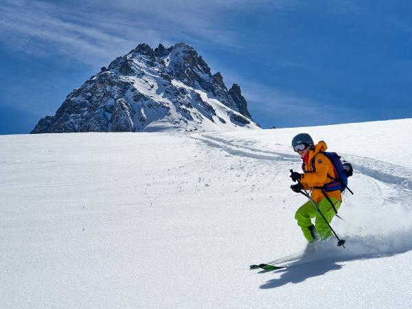
This in-depth yet accessible report for Protect Our Winters (POW) highlights the impact that climate change has on outdoor sports and access to recreation spaces. It is meant to stimulate advocacy for climate policy among “summer sports" enthusiasts.
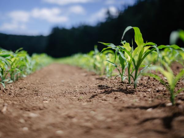
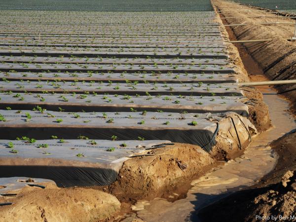
Mitigating the environmental impacts of this agricultural practice by developing either an alternative to plastic mulch or providing an end-of-life solution for the plastic waste.
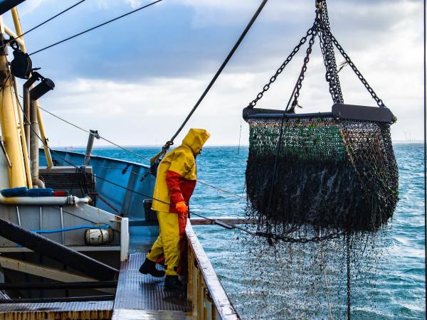
Harmonizing the NCEAS global footprint of food systems data with human welfare data to analyze patterns of environmental inequities in livestock, crop, aquaculture, and fishery production in the US.
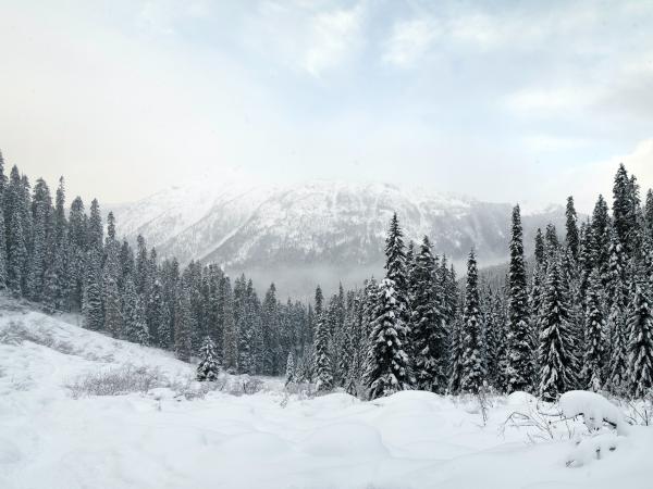
This short film highlights snow monitoring and hydrologic research at CUES (Cold Regions Research and Energy Laboratory & UCSB), a shared snow research site utilized by UCSB, CRREL, and Desert Research Institute (DRI).
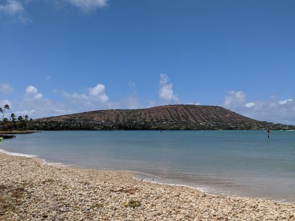
Identifying stormwater areas on land that contribute the greatest amount of runoff in Maunalua Bay, Hawaii to mitigate runoff impacts, improve bay health, and benefit the community.
This communication strategy will help the Whitebark Institute motivate second-home owners in the Mammoth Lakes area to participate in wildfire mitigation through political action and fuels reduction on personal property.
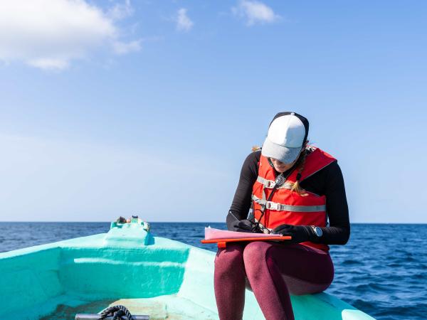
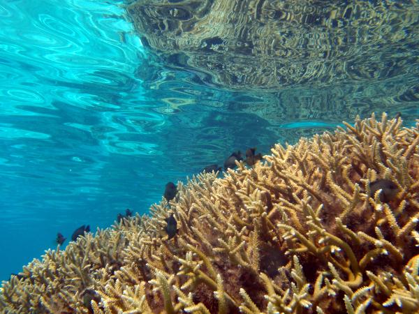
This project develops an interactive web app that visualizes spatial and temporal patterns in coral reef health around Moorea, French Polynesia. By integrating long-term ecological data, it helps researchers explore stressors, identify vulnerable reefs, and support targeted conservation and outreach.
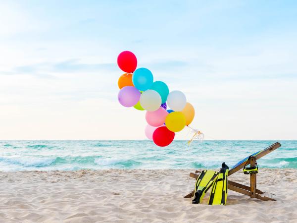
This communication strategy for Channel Islands National Marine Sanctuary (CINMS) will help reduce harmful balloon pollution in the Santa Barbara Channel through consumer education and a local campaign focused on special events, such as holidays and graduation.