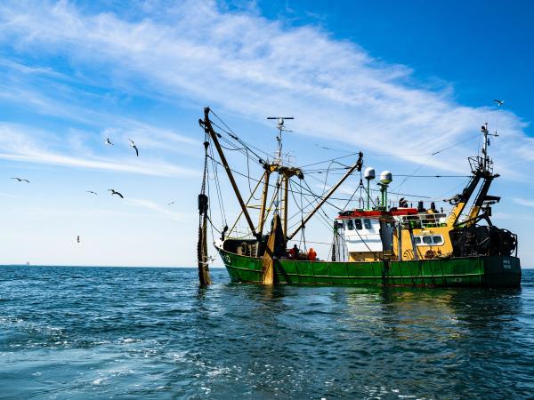
Dichlorodiphenyltrichloroethane (DDT) is an insecticide that is resistant to degradation and can cause increased risks of cancer, premature births, developmental abnormalities, and neurological diseases in humans and animals. Although banned in 1972, DDT was dumped into the ocean off the coast of southern California for decades. Recent documentation of the extent of this contamination has captured the attention of the public and raised concerns regarding the consumption of contaminated seafood. The State of California currently issues consumption advisories for coastal communities, but these advisories do not address DDT. To fill this gap and improve advisory accessibility, SaferSeafood has partnered with Scripps Institution of Oceanography and the California Cooperative Oceanic Fisheries Investigations, who collected data on the incidence of DDT in sediments and fish in nearshore southern California waters. Using this data, we updated and validated their spatiotemporal statistical model to predict DDT concentrations in fish based on species and location. We then integrated this model into an interactive web application that allows anglers to receive predicted DDT concentrations in the fish they have just caught, along with serving size recommendations and other relevant advisories. This project will allow individuals to make well-informed decisions about their seafood choices in the face of environmental challenges and health risks associated with DDT contamination.
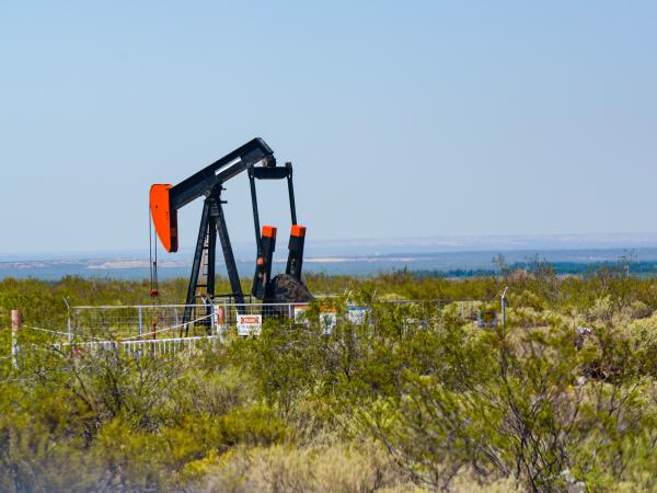
This project examines how supply-side oil and gas regulations impact greenhouse gas emissions, employment, and the health of communities in California living near oil wells. The project is especially focused on the implications of Senate Bill 1137 (SB1137), which would prohibit the construction of new oil and gas wells within 3,200 feet of schools, hospitals, and other sensitive receptors.
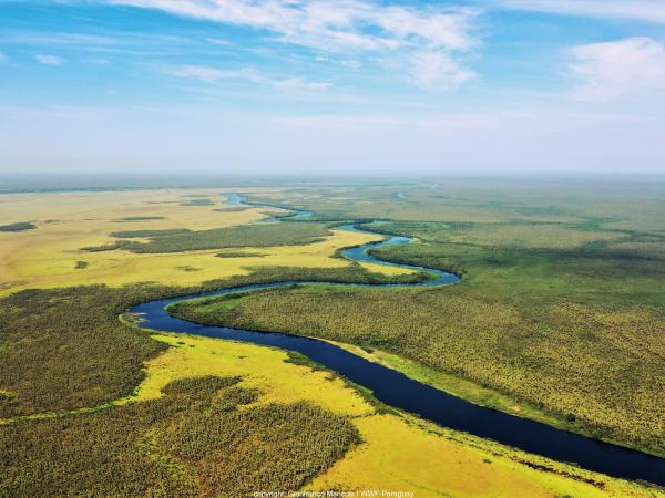
This project estimates how changes to the rules governing private LUPs could affect the extent of forest cover and agricultural land in the Paraguayan Chaco through a four-step approach: (1) Assess property owners' compliance that deforestation only occurs in authorized areas and determine deforestation rates by using geospatial overlays, (2) Estimate protected forest area under different potential laws in the undeveloped Paraguayan Chaco region by creating mock properties with simulated land use plans, (3) Integrate the simulated LUP configurations into a machine learning model to examine how potential changes to land use laws might influence future deforestation patterns, and (4) To inform forest conservation regulations by providing INFONA and other stakeholders with an interactive platform for exploring the results.
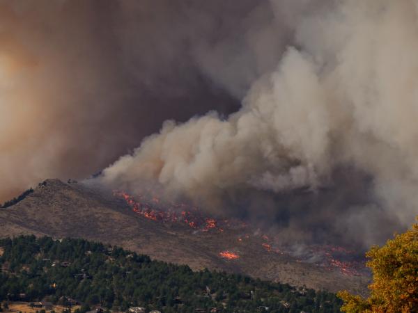
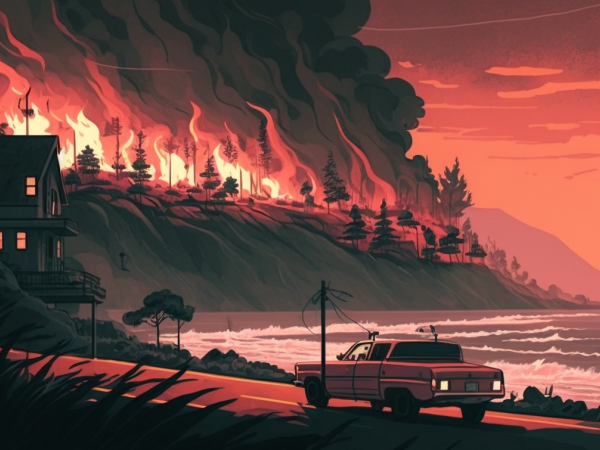
The chaparral ecosystem is prone to fire, but traditional fuel breaks can lead to some unintended consequences. This team delivers educational materials, talking points, and an op-ed on land management for Los Padres Forest Watch to spread awareness of proper land management.
We produced spatial layers of four different wildfire metrics, and conducted exploratory statistical analyses to assess how these wildfire metrics may be affected by GDEs in California. These layers and analyses are incorporated into an interactive dashboard that allows users to view general spatial relationships between groundwater variables, such as GDEs, and various wildfire metrics.
Making sustainable choices when it comes to everyday buying decisions can be challenging for people who are not working in the environmental field. This Instagram strategy fills the gap by providing easy, practical, and fun sustainability tips, emphasizing connection with communities of color.
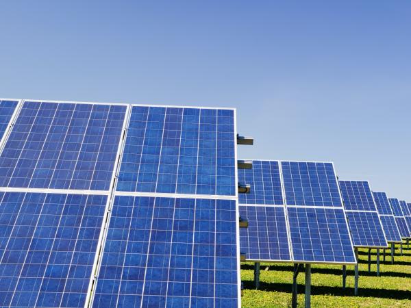
This project provides the first facility-level analysis of indirect carbon emissions from EAF steel plants in the US. As the US steel industry seeks to decarbonize and promote green steel, understanding the Scope 2 emissions of EAF steel production is essential. The calculated emissions and emissions intensity for each steel plant are available in a public dataset as well as an interactive Tableau dashboard.
Health centers are vulnerable to unreliable power supplies during natural disasters & blackouts. This team created educational flyers, infographics, and a video to help engage & encourage health center staff to transition to solar through Community Energy Company.
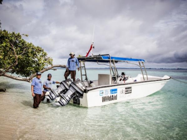
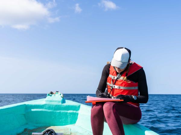
Through this project, the capstone team created a reproducible workflow to streamline data entry for the MPS Tracker, as well as a data visualization tool to summarize and highlight trends. These deliverables allow WildAid Marine to increase their efficiency in monitoring and improving MPA enforcement, and successfully share progress with donors and stakeholders.
The Long Term Ecological Research (LTER) network uncovers unique findings only possible through its long term approach to science. However, many are not aware of its contributions. This team created a video series on the benefits of the LTER network & the scientific insights it can offer.
This project contributes to the larger Building Resilience to Wildfires initiative by presenting a process for creating these potential climate scenarios by stitching together pieces of existing climate model projections. To build each piece of a climate scenario, or each ‘segment’, climate models are searched for pieces that match the specified climate criteria of interest for that very segment. Once all desired segments are built, segments are then stitched together to make one continuous time-series: a ‘climate scenario’.
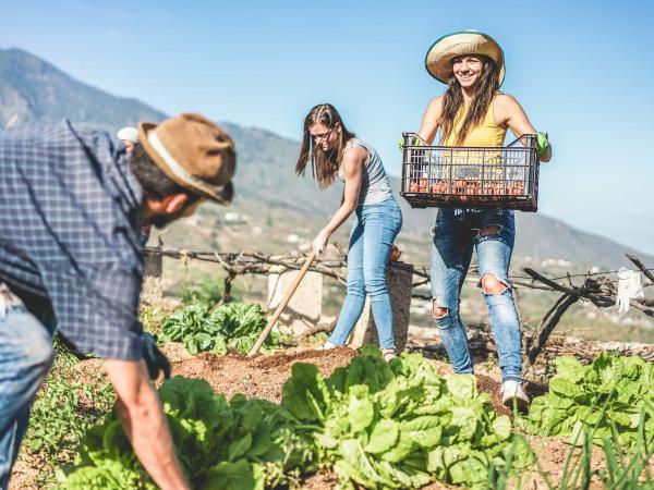
Regenerative agriculture offers unique environmental benefits that conventional agriculture cannot. This team created targeted papers to certifying bodies and ranchers, and a short film on how regenerative agriculture works for White Buffalo Land Trust.