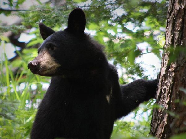
This project modeled human-black bear conflicts in California, incorporating fire and drought impacts to predict future hotspots. Findings help wildlife managers allocate resources and implement proactive strategies to reduce conflicts, especially in vulnerable communities.
Producing an interactive web platform that allows National Park managers to easily explore and visualize park-specific patterns such as visitation volume, demand, visitors’ origin, and more.
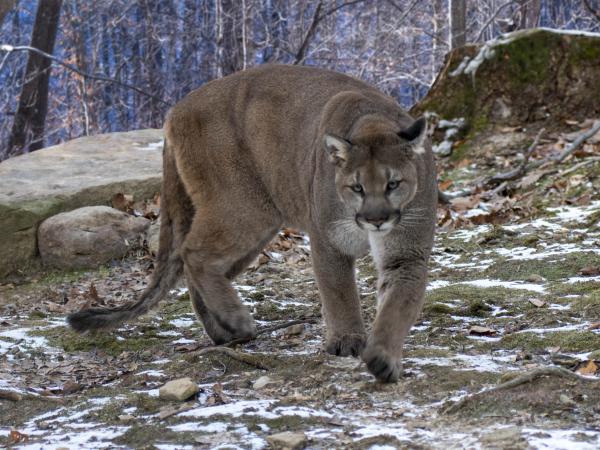
This short film for The Nature Conservancy is meant to inspire and educate local communities about the importance of habitat connectivity for the conservation of mountain lions and other wildlife.
Developing a community engagement and outreach strategy for commercial kelp producer Ocean Rainforest to use as a framework for aquaculture expansion along the California coastline.
Developing a machine learning algorithm designed to interpret RHESSys output and extract insights into possible impacts of climate change on forest health.
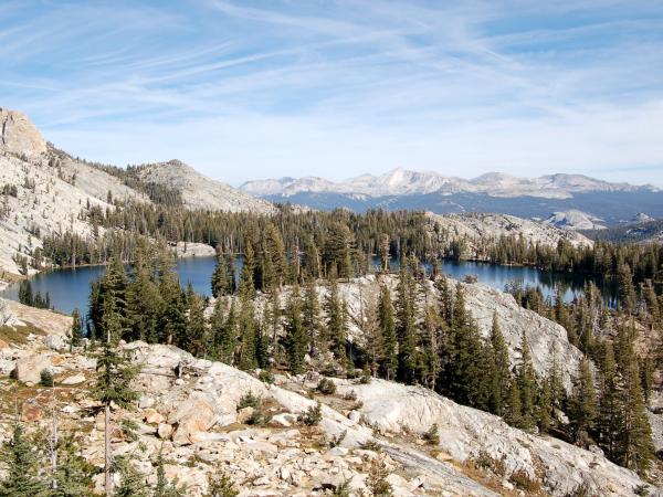
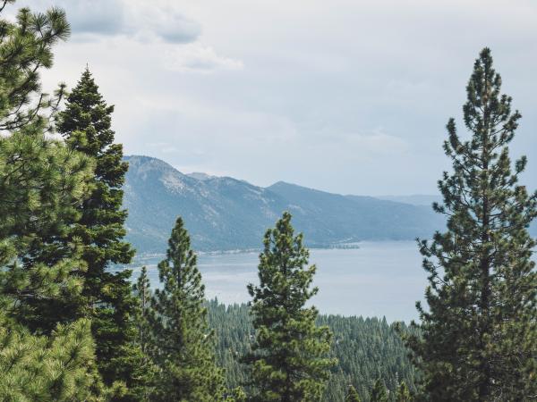
Identifying financial incentives for forest restoration projects, examining supply and demand of ecosystem services within California’s Tahoe Central Sierra Initiative.
Analyzing environmental and financial factors to develop a calculator and marketing tool to help a commercial recycling company make decisions about transport packaging.
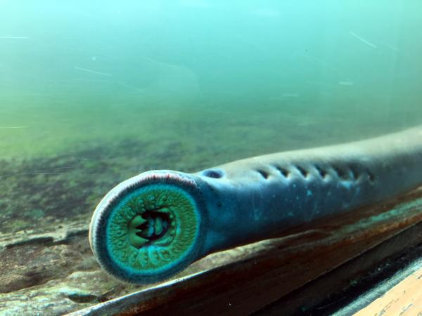
Identifying larval Pacific lamprey habitat locations to aid ongoing restoration efforts, and providing policy recommendations to the Columbia River Inter-Tribal Fish Commission.
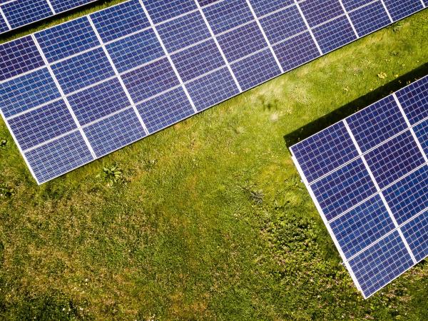
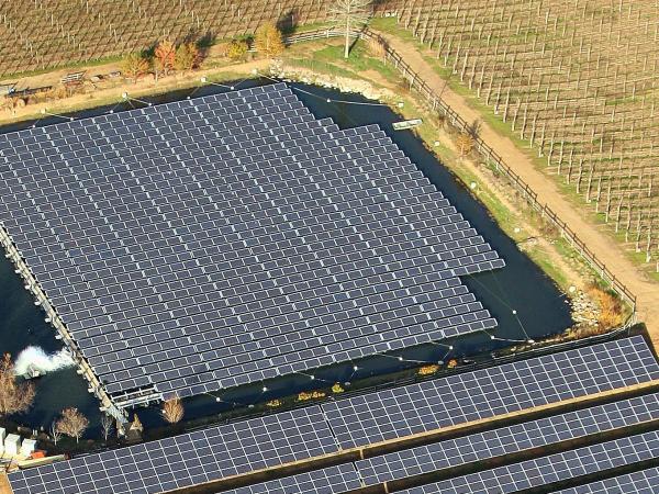
Developing a framework for a floating photovoltaic system identifying potential opportunities, difficulties, and concerns for various stakeholders, including financial, regulatory, and technical components necessary to gain permitting approvals.
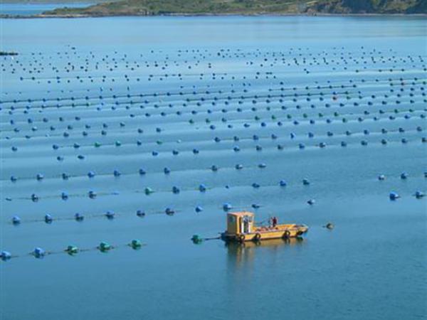
Identifying locations for new shellfish aquaculture development along British Columbia’s coastline and a geospatial visualization tool for First Nations rights and title holders.
Developing a standardized framework to measure the circularity of potential investment opportunities which can be used to provide an impact assessment of a venture capital firm's investments.
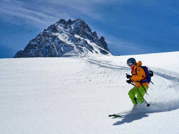
Identifying the scientific and economic impacts of climate change on the rock climbing and trail sports communities to produce strategic communication materials for non-profit ambassadors.
The Dangermond Preserve has over three years of research to share with the public since they acquired the land, and this ESRI ArcGIS StoryMap, helps to articulate new discoveries, to grow awareness, and to promote engagement and economic support from the local community.