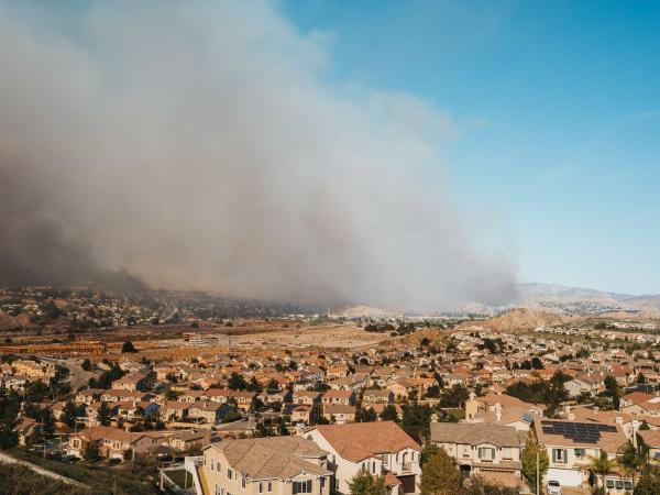
To enhance wildfire preparedness, this project develops a machine learning tool that predicts defensible space compliance using remote sensing imagery. By streamlining inspections for the Santa Barbara County Fire Department, it enables more efficient resource allocation and real-time monitoring of wildfire risk.
This project evaluates nature-based carbon credits for their biodiversity impact. In collaboration with Carbon Direct, the team aims to guide buyers on selecting credits that benefit ecosystems, using data analysis and case studies of Indigenous and conservation efforts.
This project harnesses high-resolution satellite data to uncover the greenhouse gas emissions of global fisheries, a major yet understudied contributor to climate change. By building an open-source data pipeline and interactive dashboard, it provides actionable insights for research, policy, and market-based strategies to reduce emissions at scale.
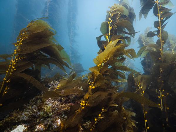
This project enhances marine conservation by standardizing habitat analysis within California’s Marine Protected Areas (MPAs) using spatial data and remote sensing. By creating detailed habitat maps and statistical comparisons, it provides crucial insights for researchers and policymakers evaluating the effectiveness of the MPA network.
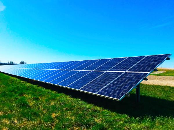
Green Credit addresses rising electricity costs for low-income Californians through a community solar subscription platform. The project connects residents to solar farms, provides education, and advocates for policies, making affordable renewable energy more accessible.
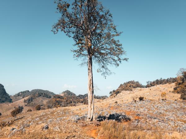
Forests cover approximately 30% of Earth's land surface, absorb more carbon than all other terrestrial ecosystems, and provide trillions of dollars’ worth of ecosystem services (Food and Agriculture Organization of the United Nations, 2005). However, climate change-induced droughts pose a significant threat to these vital ecosystems. As climate change intensifies, it is critical for our planning and management that we understand how and where trees will be the most threatened. Previous research has examined the effects of these droughts on forests at a global scale, but these large-scale analyses are not particularly helpful for land managers that often focus on specific regions and only a limited number of species. Our project addresses this gap by assessing species-specific sensitivity to increasingly severe and frequent droughts, considering the variations within their ranges.
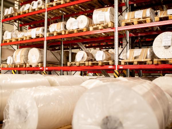
Consumer demand for sustainable products is increasingly driving companies to consider the life-cycle carbon emissions of products being sold. Darn Tough, a Vermont-based sock manufacturer, aims to continue their reputation of environmental stewardship through aligning its operations with the 2030 carbon mitigation target set by its largest retailer, Recreational Equipment, Inc. (REI). This project streamlines the calculation process with an improved computational method and builds an interactive visualization dashboard that allows the company to calculate yearly emissions and analyze the potential GHG impacts of changes in different fiber types for sock manufacturing.
Climate models are computer simulations that attempt to replicate the complex interactions between Earth’s systems. Improving the accuracy of climate models relies on evaluating uncertainty and minimizing error. The Climate and Global Dynamics Lab at the National Center for Atmospheric Research (NCAR) has recently carried out a Parameter Perturbation Experiment (PPE) to understand how the uncertainty of parameter values affected the output of their model, the Community Land Model (CLM); which simulates terrestrial processes. While the necessary data for the PPE has been collected, the data is stored in a collection of files that are difficult to interpret in their current form. The current website hosts visualizations for a portion of the PPE data, but contains no visualizations for data that more closely simulates Earth system interactions. These issues can be mitigated by developing an emulator with the internal complexity to isolate a one-to-one relationship between a parameter and climate variable, then display the predicted relationship. A publicly available emulator with these capabilities will allow scientists to easily interpret complex climate model outputs and offer insights on parameter-variable relationships that are not being predicted accurately by the model; which can lead to increased accuracy and precision of climate models.