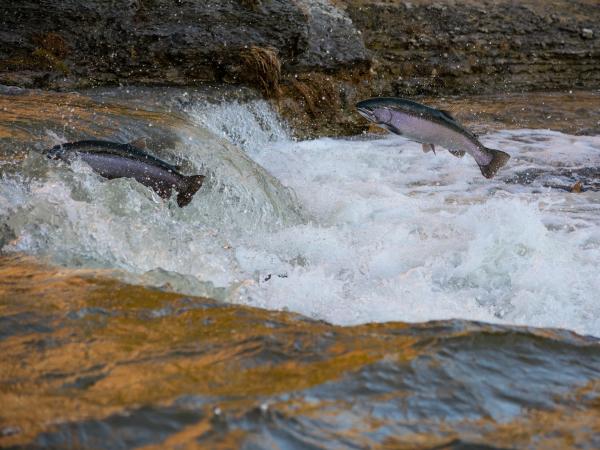
Liberia's waters face overfishing from foreign fleets, harming local ecosystems and fishers despite government profits. This project explores how limiting trawling could impact fish stocks and income, helping policymakers balance ecological and economic needs.
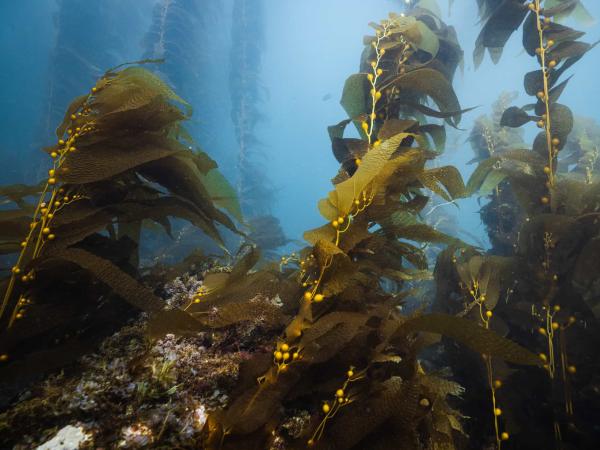
This project enhances marine conservation by standardizing habitat analysis within California’s Marine Protected Areas (MPAs) using spatial data and remote sensing. By creating detailed habitat maps and statistical comparisons, it provides crucial insights for researchers and policymakers evaluating the effectiveness of the MPA network.
This project enhances industrial decarbonization research by integrating greenhouse gas emissions and economic adjustments into the Industrial Assessment Centers (IAC) database. By developing a user-friendly interface with advanced visualization tools, it streamlines data access and supports more effective energy efficiency and emissions reduction strategies.
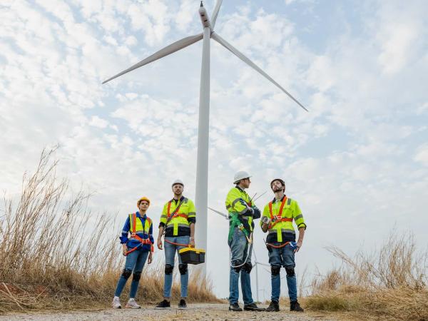
This project maps the shifting energy job landscape on California’s Central Coast as offshore wind development accelerates. By visualizing job gains and losses, it empowers labor, environmental, and community groups to advocate for a just transition to clean energy.
MESM 2025 Group Project: Safety and sustainability assessment of pyrolyzed biochar produced from wastewater treatment plant biosolids for agricultural applications
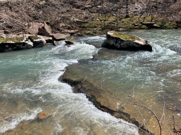
This project enhances California’s water data portal by assessing data quality, accessibility, and usability for improved drought management. Through gap analysis and automated visualization tools, it empowers water managers with actionable insights to better predict and respond to water shortages.
Forests cover approximately 30% of Earth's land surface, absorb more carbon than all other terrestrial ecosystems, and provide trillions of dollars’ worth of ecosystem services (Food and Agriculture Organization of the United Nations, 2005). However, climate change-induced droughts pose a significant threat to these vital ecosystems. As climate change intensifies, it is critical for our planning and management that we understand how and where trees will be the most threatened. Previous research has examined the effects of these droughts on forests at a global scale, but these large-scale analyses are not particularly helpful for land managers that often focus on specific regions and only a limited number of species. Our project addresses this gap by assessing species-specific sensitivity to increasingly severe and frequent droughts, considering the variations within their ranges.
Consumer demand for sustainable products is increasingly driving companies to consider the life-cycle carbon emissions of products being sold. Darn Tough, a Vermont-based sock manufacturer, aims to continue their reputation of environmental stewardship through aligning its operations with the 2030 carbon mitigation target set by its largest retailer, Recreational Equipment, Inc. (REI). This project streamlines the calculation process with an improved computational method and builds an interactive visualization dashboard that allows the company to calculate yearly emissions and analyze the potential GHG impacts of changes in different fiber types for sock manufacturing.
Climate models are computer simulations that attempt to replicate the complex interactions between Earth’s systems. Improving the accuracy of climate models relies on evaluating uncertainty and minimizing error. The Climate and Global Dynamics Lab at the National Center for Atmospheric Research (NCAR) has recently carried out a Parameter Perturbation Experiment (PPE) to understand how the uncertainty of parameter values affected the output of their model, the Community Land Model (CLM); which simulates terrestrial processes. While the necessary data for the PPE has been collected, the data is stored in a collection of files that are difficult to interpret in their current form. The current website hosts visualizations for a portion of the PPE data, but contains no visualizations for data that more closely simulates Earth system interactions. These issues can be mitigated by developing an emulator with the internal complexity to isolate a one-to-one relationship between a parameter and climate variable, then display the predicted relationship. A publicly available emulator with these capabilities will allow scientists to easily interpret complex climate model outputs and offer insights on parameter-variable relationships that are not being predicted accurately by the model; which can lead to increased accuracy and precision of climate models.
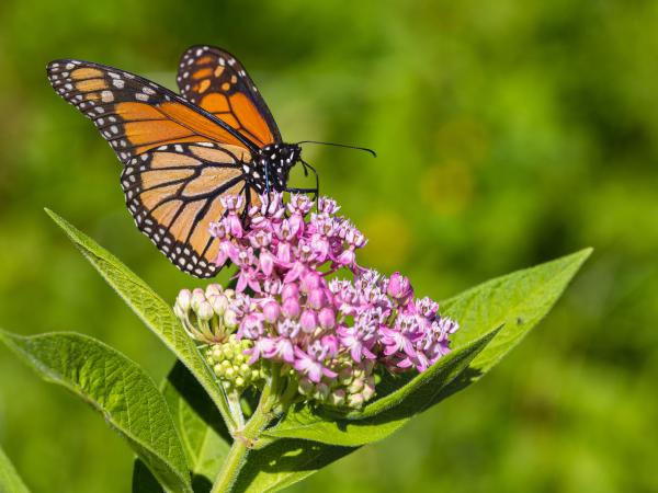
The Santa Barbara Botanic Garden is restoring monarch butterfly habitats in the Los Padres National Forest. Using habitat models and accessibility tools, the team identified key areas for milkweed planting to support monarch populations and streamline future surveys.
In Teton County, elk feedgrounds spread disease, impacting cattle and ranchers. This project assessed ways to manage risks from feedground closure, recommending financial tools to support wildlife coexistence and reduce economic losses for ranchers.
Community engagement in planning is essential for effective and just climate adaptation. However, historically underserved communities are often difficult to reach through traditional means of soliciting public input. The Climate Adaptation Solutions Accelerator (CASA) through School-Community Hubs project identifies public schools as promising sites for building both community engagement and community capacity for climate adaptation.
The Channel Islands Marine Sanctuary (CINMS) comprises 1,470 square miles surrounding the Northern Channel Islands: Anacapa, Santa Cruz, Santa Rosa, San Miguel, and Santa Barbara, protecting various species and habitats. However, these sensitive habitats are highly susceptible to climate-driven ‘shock’ events which are associated with extreme values of temperature, pH, or ocean nutrient levels. To better understand the drivers and statistics of climate-driven ecosystem shocks, a ‘large ensemble’ of simulations run with multiple climate models will be used. The objective of this project is to develop an educational toolkit and Python-based web application to visualize ecologically significant climate variables near the CINMS.