Developing a machine learning algorithm designed to interpret RHESSys output and extract insights into possible impacts of climate change on forest health.
Identifying financial incentives for forest restoration projects, examining supply and demand of ecosystem services within California’s Tahoe Central Sierra Initiative.
Analyzing environmental and financial factors to develop a calculator and marketing tool to help a commercial recycling company make decisions about transport packaging.
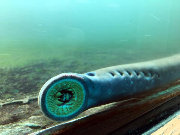
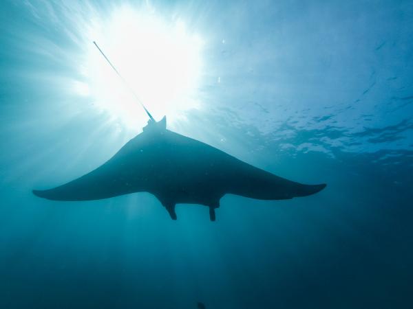
Identifying larval Pacific lamprey habitat locations to aid ongoing restoration efforts, and providing policy recommendations to the Columbia River Inter-Tribal Fish Commission.
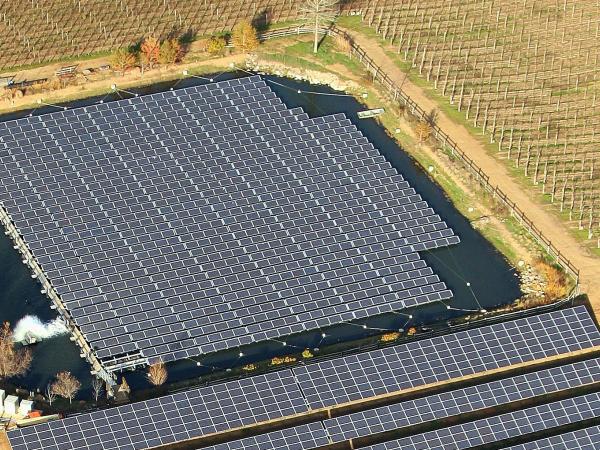
Developing a framework for a floating photovoltaic system identifying potential opportunities, difficulties, and concerns for various stakeholders, including financial, regulatory, and technical components necessary to gain permitting approvals.
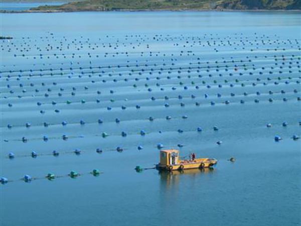
Identifying locations for new shellfish aquaculture development along British Columbia’s coastline and a geospatial visualization tool for First Nations rights and title holders.
Developing a standardized framework to measure the circularity of potential investment opportunities which can be used to provide an impact assessment of a venture capital firm's investments.
Identifying the scientific and economic impacts of climate change on the rock climbing and trail sports communities to produce strategic communication materials for non-profit ambassadors.
The Dangermond Preserve has over three years of research to share with the public since they acquired the land, and this ESRI ArcGIS StoryMap, helps to articulate new discoveries, to grow awareness, and to promote engagement and economic support from the local community.
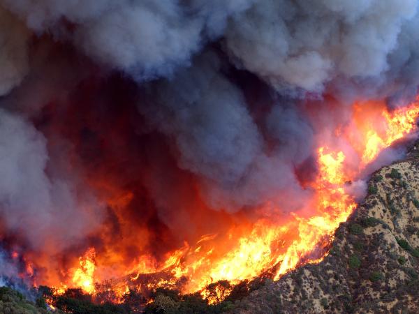
Identifying socially vulnerable communities at risk of wildfire and developing a Community Wildfire Protection Plan that equitably addresses community needs.
This educational film outlines the benefits of seaweed aquaculture and is targeted at stakeholders in the California seaweed aquaculture industry, with the goal to help eliminate barriers to offshore aquaculture expansion on the West Coast.
Using several data sources, this group project is building a model to guide day-to-day decisions and high-level campaign strategy for a new fishery co-management framework in Brazil.
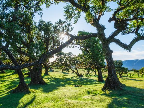
The National Park Service wants its managers to incorporate ‘water balance’ into their park management practices—but it’s a challenging topic and not many are aware of how it works. This project includes an ArcGIS StoryMap to explain the topic and why it’s relevant to park managers.
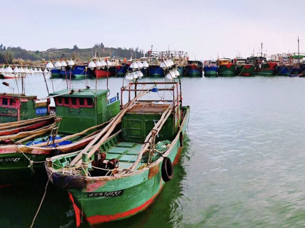
The goal of this project is to assist the government of Mozambique to improve the management of shark and ray populations and associated fisheries, through appropriate analysis and translation of data into science-based recommendations for policy and management.
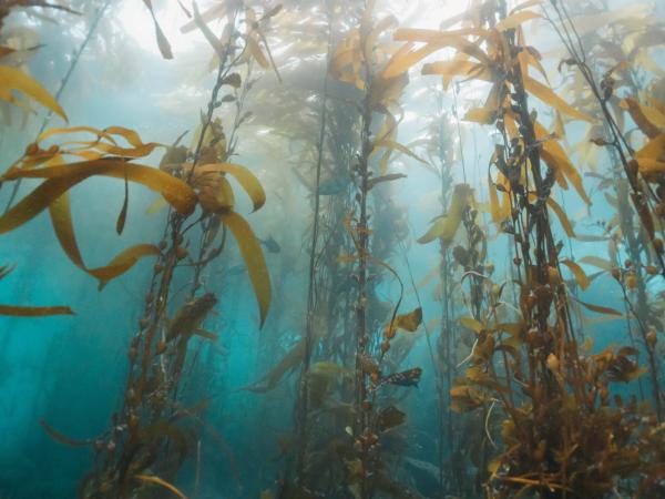
The purple urchin is a delicacy that can help repopulate California’s kelp forests if fished. But Americans aren’t knowledgeable about the culinary uses and potential of ‘uni.’ To help curious foodies learn more, this cooking video will educate home cooks and share cooking and urchin sustainability tips.
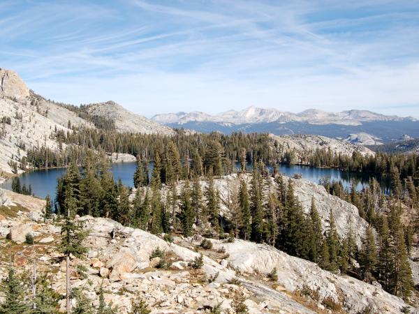
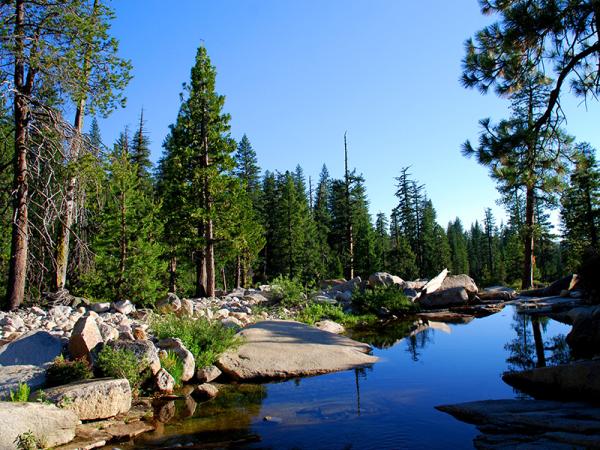
This project is identifying locations for fuels reduction to maximize benefits to river ecosystems and clean water supply. This model will be looking at fire and water processes in the Cosumnes, American, Bear, and Yuba (CABY) river regions in the Sierra Nevada Forests.
This project explores residential water rebate programs' impact on water, energy, and greenhouse gas emissions, specifically for the project client, Moulton Niguel Water District.
The main objective of this project is to design a theoretical framework of quota baskets to guide managers and decision-makers in determining whether quota basket approaches are an appropriate management strategy for a fishery.