This project evaluates nature-based carbon credits for their biodiversity impact. In collaboration with Carbon Direct, the team aims to guide buyers on selecting credits that benefit ecosystems, using data analysis and case studies of Indigenous and conservation efforts.
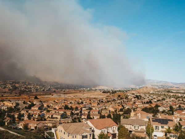
To enhance wildfire preparedness, this project develops a machine learning tool that predicts defensible space compliance using remote sensing imagery. By streamlining inspections for the Santa Barbara County Fire Department, it enables more efficient resource allocation and real-time monitoring of wildfire risk.
This project harnesses high-resolution satellite data to uncover the greenhouse gas emissions of global fisheries, a major yet understudied contributor to climate change. By building an open-source data pipeline and interactive dashboard, it provides actionable insights for research, policy, and market-based strategies to reduce emissions at scale.
Liberia's waters face overfishing from foreign fleets, harming local ecosystems and fishers despite government profits. This project explores how limiting trawling could impact fish stocks and income, helping policymakers balance ecological and economic needs.
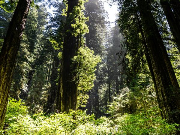
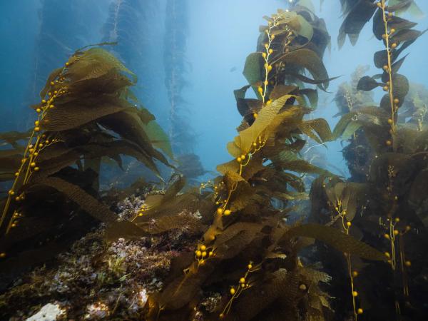
This project enhances marine conservation by standardizing habitat analysis within California’s Marine Protected Areas (MPAs) using spatial data and remote sensing. By creating detailed habitat maps and statistical comparisons, it provides crucial insights for researchers and policymakers evaluating the effectiveness of the MPA network.
This project enhances industrial decarbonization research by integrating greenhouse gas emissions and economic adjustments into the Industrial Assessment Centers (IAC) database. By developing a user-friendly interface with advanced visualization tools, it streamlines data access and supports more effective energy efficiency and emissions reduction strategies.
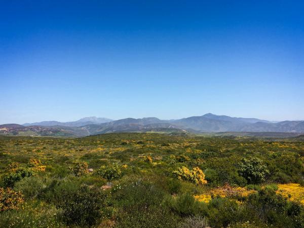
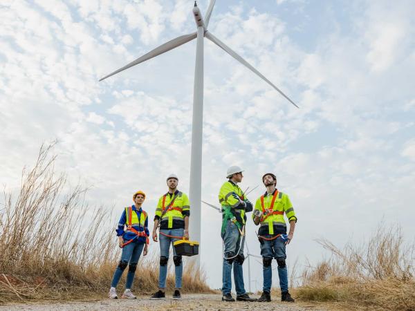
This project maps the shifting energy job landscape on California’s Central Coast as offshore wind development accelerates. By visualizing job gains and losses, it empowers labor, environmental, and community groups to advocate for a just transition to clean energy.
MESM 2025 Group Project: Safety and sustainability assessment of pyrolyzed biochar produced from wastewater treatment plant biosolids for agricultural applications
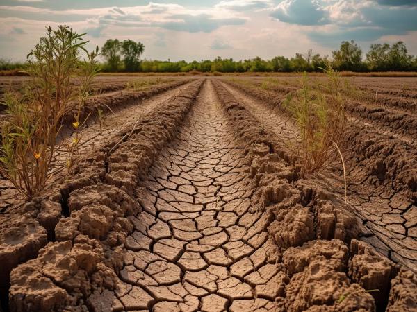
This project enhances California’s water data portal by assessing data quality, accessibility, and usability for improved drought management. Through gap analysis and automated visualization tools, it empowers water managers with actionable insights to better predict and respond to water shortages.
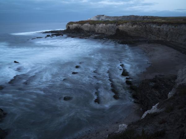
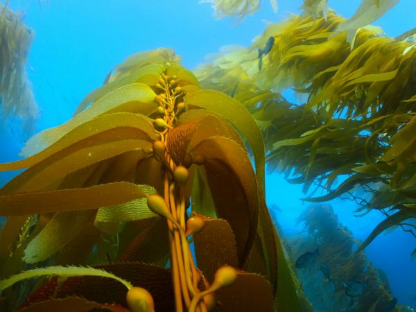
This project examines how Point Conception, a major biogeographic barrier, influences the range shifts of intertidal species in response to climate change. Using long-term ecological survey data and environmental projections, it will map species range edges and develop an interactive dashboard to support conservation efforts at The Nature Conservancy’s Dangermond Preserve.
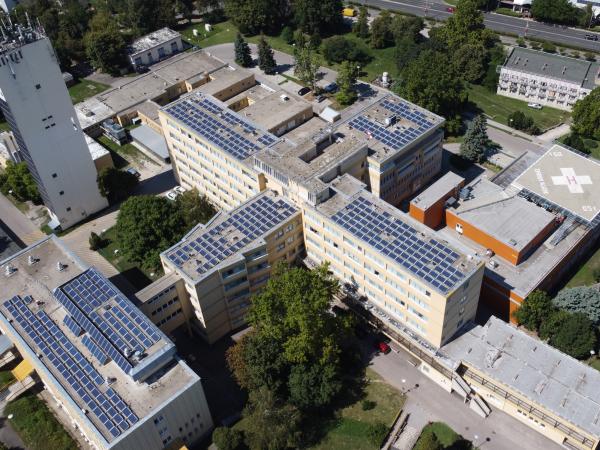
MESM 2025 Group Project: Cost-Benefit Analysis Tools for Federally Qualified Health Centers Considering On-Site Solar Installation: A Healthcare Equity Project
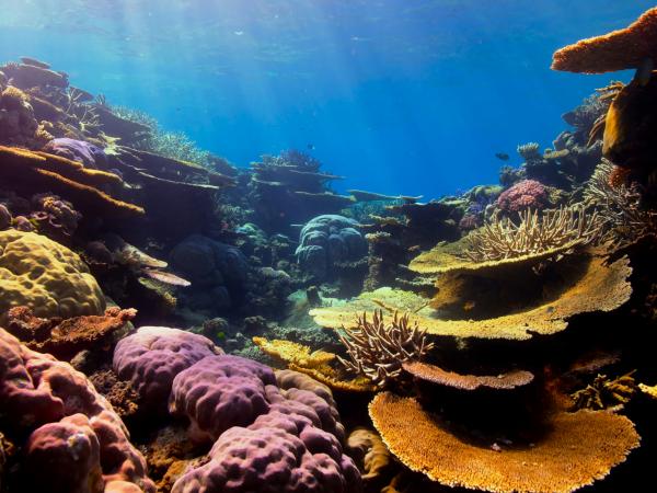
MESM 2025 Eco-Entrepreneurship Project: Develop a product/service that accelerates coral bleaching prevention through the diving community, raising awareness and adding value to the diving experience
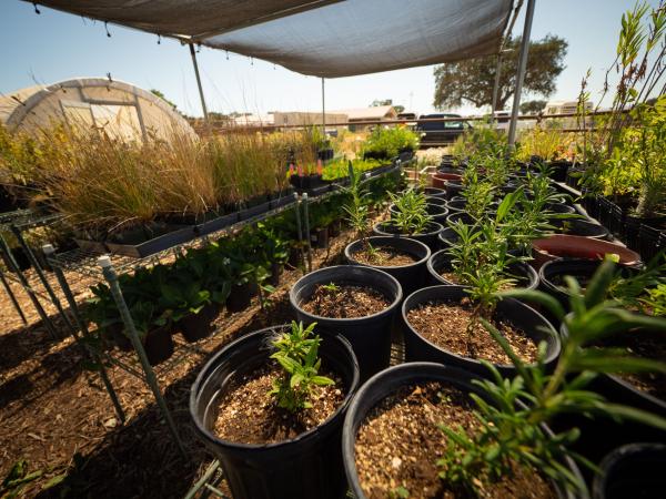
Palm fronds, common in Southern California, don’t decompose easily and overcrowd landfills. This project aims to convert palm waste into biochar to reduce landfill use, improve soil health, and sequester carbon, supporting regional waste management efforts.