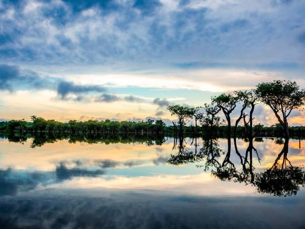
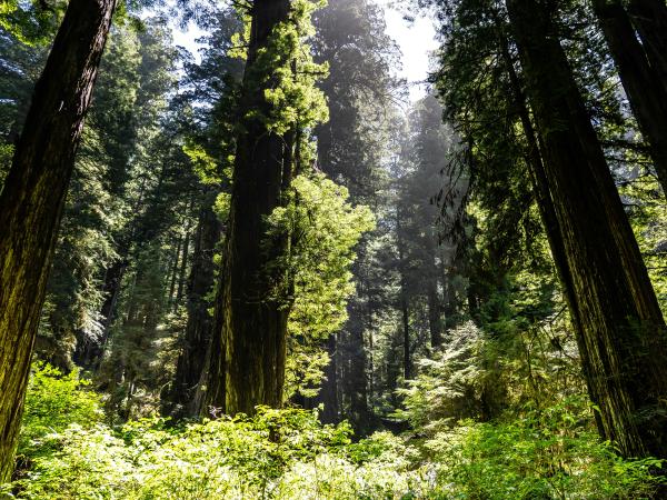
California’s 30×30 initiative aims to protect biodiversity, but decision-makers need better evidence to guide conservation investments. This project will use bird observation data to compare biodiversity trends in protected and unprotected areas, helping inform more effective conservation strategies across the state.
For over 450 years, Pilcomayo river basin has been heavily contaminated by mining waste originating from the Potosí region, including toxic heavy metals and acidic byproducts. Advanced Minerals Technology S. Korea, Inc. (AMTSK) is taking a dual approach to address the contamination issue: environmental remediation and treatment of affected populations.
The City of Santa Barbara has adopted an aspirational climate goal to achieve carbon neutrality by 2035. Decreasing natural gas use would reduce the City’s overall emissions; thus, converting existing residential buildings to all-electric systems would bring the City closer to carbon neutrality. To assess the feasibility of different electrification options, this project will review best practices from residential buildings' electrification in other jurisdictions. Furthermore, the project will create an economic model to calculate greenhouse gas reductions and the lifetime financial savings from electrification.
This project is a partnership between UC Santa Barbara’s Bren School of Environmental Science and Management and Sequoia Riverlands Trust (SRT) to create a regional restoration plan for the central San Joaquin Valley.
While the crucial role of Indigenous peoples and local communities (IPs & LCs) and their territories in realizing global climate and conservation goals is well established, a significant gap exists in scientific knowledge in terms of the current and future implications of a changing climate on IPs’ & LCs’ territories. The newly established Global Indigenous Peoples and Local Communities Center at Conservation International seeks to work with and for IPs & LCs to enhance the climate resiliency of these communities and their territories. As part of this effort, this project aims to understand the current and future impact of climate change on IPs & LCs and the biodiversity and carbon within their territories. Based on this understanding, the project team will identify strategies and actions that can be implemented to increase climate resiliency of IPs’ & LCs’ territories.
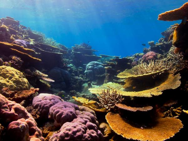
MESM 2025 Eco-Entrepreneurship Project: Develop a product/service that accelerates coral bleaching prevention through the diving community, raising awareness and adding value to the diving experience
Palm fronds, common in Southern California, don’t decompose easily and overcrowd landfills. This project aims to convert palm waste into biochar to reduce landfill use, improve soil health, and sequester carbon, supporting regional waste management efforts.
MESM 2025 Group Project: Exploring High-Impact Regional Habitat Connectivity Projects in Support of a Sentinel Landscape Partnership Designation at Vandenberg Space Force Base
MESM 2025 Group Project: Finding Balance in Our Urbanized Watersheds - Policy Recommendations for Alternative Emergency Debris Management Actions in Santa Barbara County
This project enhances the Climate and Economic Justice Screening Tool (CEJST) by incorporating cumulative climate and environmental burdens, ensuring more equitable investment in the most at-risk communities. Using advanced geospatial analysis, it refines how disadvantaged areas are identified, strengthening the impact of the Justice40 initiative.
This project evaluates nature-based carbon credits for their biodiversity impact. In collaboration with Carbon Direct, the team aims to guide buyers on selecting credits that benefit ecosystems, using data analysis and case studies of Indigenous and conservation efforts.
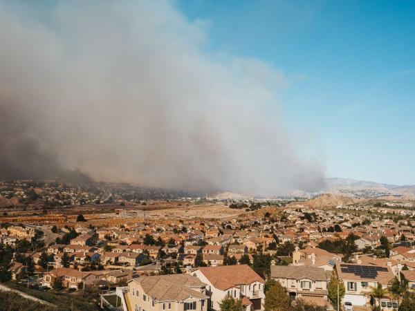
To enhance wildfire preparedness, this project develops a machine learning tool that predicts defensible space compliance using remote sensing imagery. By streamlining inspections for the Santa Barbara County Fire Department, it enables more efficient resource allocation and real-time monitoring of wildfire risk.
This project harnesses high-resolution satellite data to uncover the greenhouse gas emissions of global fisheries, a major yet understudied contributor to climate change. By building an open-source data pipeline and interactive dashboard, it provides actionable insights for research, policy, and market-based strategies to reduce emissions at scale.
Liberia's waters face overfishing from foreign fleets, harming local ecosystems and fishers despite government profits. This project explores how limiting trawling could impact fish stocks and income, helping policymakers balance ecological and economic needs.
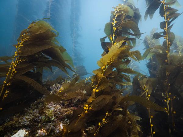
This project enhances marine conservation by standardizing habitat analysis within California’s Marine Protected Areas (MPAs) using spatial data and remote sensing. By creating detailed habitat maps and statistical comparisons, it provides crucial insights for researchers and policymakers evaluating the effectiveness of the MPA network.
This project enhances industrial decarbonization research by integrating greenhouse gas emissions and economic adjustments into the Industrial Assessment Centers (IAC) database. By developing a user-friendly interface with advanced visualization tools, it streamlines data access and supports more effective energy efficiency and emissions reduction strategies.